Empowering our Clients through our Google Cloud Partnership
RedCastle Resources can empower you as a Google Cloud Partner with Geospatial AI innovation. We drive geospatial adoption and increase value on Google Cloud through targeted geospatial solutions. RedCastle Resources is a specialized geospatial solutions provider with 28 years of proven expertise in transforming complex Earth observation data into actionable intelligence. We empower natural resource managers, government agencies, and diverse organizations to make smarter, more confident decisions in a rapidly changing world. Our deep understanding of geospatial data management, cloud computing, and custom application development makes us an ideal partner to expand the reach and impact of Google Cloud technologies.


Our Solution Categories
Environmental Monitoring & Conservation

Focus: Tracking critical environmental shifts, assessing ecosystem health, and supporting conservation efforts.
Solution: We provide tools for analyzing land cover, land use, and vegetation changes over time, crucial for monitoring deforestation (e.g., for EUDR compliance), habitat degradation, and climate impacts. Our solutions enable precise tracking of natural resource dynamics.
Google Cloud Synergy: Powered by Landsat and Sentinel-2 imagery within Google Earth Engine, our solutions leverage GEE's vast data catalog and analytical power for comprehensive environmental insights.
Disaster Resilience & Response

Focus: Enhancing preparedness, optimizing immediate response, and guiding sustainable recovery from natural and man-made disasters.
Solution: We deliver near real-time change detection capabilities to assess post-disaster damage (e.g., from hurricanes or wildfires), monitor recovery progress, and identify vulnerable areas. Our tools assist in rapid situational awareness and resource allocation.
Google Cloud Synergy: Our solutions utilize GEE's speed for rapid analysis of disaster-affected areas and can integrate with broader GCP services for scalable data management and visualization, critical for emergency operations.
Asset Management & Infrastructure Monitoring

Focus: Providing efficiency and confidence in managing assets within a quickly changing environment.
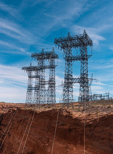
Solution: We offer tools that analyze changes around critical infrastructure, assess vegetation encroachment, and forecast potential damage from environmental events (e.g., wind events impacting trees near power lines). This ensures proactive management and reduces risk.
Google Cloud Synergy: Our ability to process historical data from 1984 to near-future projections on GEE, combined with Google's AI capabilities, allows for predictive insights crucial for long-term asset integrity. Enhancing preparedness, optimizing immediate response, and guiding sustainable recovery from natural and man-made disasters.

Our Flagship Innovation: ASKTERRA
Our latest product, ASKTERRA, exemplifies our commitment to innovation and our strategic alignment with Google Cloud's vision, enhancing all the above solution categories. ASKTERRA is a conversation GeoAI platform that breaks the code barrier, unlocking the full potential of Google Earth Engine with intuitive natural language queries.

Unprecedented Accessibility
ASKTERRA transforms qualitative prompts (vague or detailed) into precise, quantitative geospatial outputs. Users can simply ask questions like "Show me deforestation since 2001 near Nairobi", or "Forecast
tree damage from wind events in the Pacific Northwest" and receive interactive, map-based answers within seconds.

Leveraging Google's Power
Built on Landsat and Sentinel-2 satellite imagery, ASKTERRA harnesses GEE's immense data processing capabilities and Google's advanced AI to analyze global land cover, land use, and vegetation changes, spanning historical data from 1984 to near-future projections.

Bridging the Gap
This intuitive chat interface lowers the technical barrier to geospatial intelligence, enabling a broader audience—from non-experts to
seasoned analysts—to explore, refine, and act on satellite data without worrying about underlying code. It's a crucial step toward closing the technological gap between regions with varying geospatial capacities (technical expertise, funding, or infrastructure).